North and Central America: Countries Printables
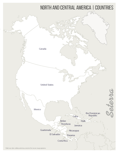
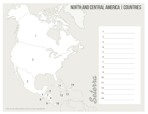
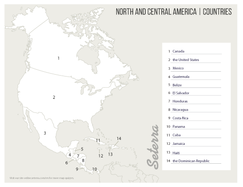
While Canada, the United States, and Mexico are easy to find on a map, there are 11 other countries in North and Central America that may pose more of a challenge. This printable blank map is a great teaching and learning resource for those interested in learning the geography of North and Central America. With numbered blank spaces, the PDF maps work great as a geography study aid or as a teaching resource. You can also practice online using our online map games.


